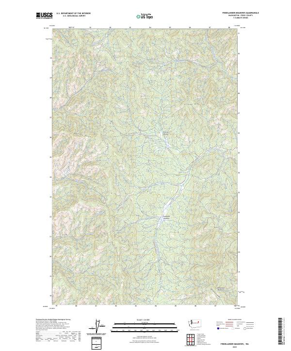
2023 Map of Friedlander Meadows
USGS Topo · Published 2023About this map
Friedlander Meadows and the surrounding high country of Ferry County are defined by a complex network of drainages and ridges within the Colville Indian Reservation. The landscape is structured by prominent elevations like Sclome Mtn and Whitestone Mountain, which overlook a series of creeks including Silver Creek and South Fork Ninemile Creek. These watercourses have historically dictated the placement of back-country access routes such as Silver Creek Rd and Ninemile Hellgate Rd. The presence of features like Sclome Meadow and Watson Ridge illustrates a terrain where small-scale hydrology and high-altitude pastures were central to local land use. This 2023 survey provides contemporary documentation of the Bureau of Indian Affairs road network, including BIA Rd 1041 and BIA Rd 100, which connect these remote interior valleys.
Find a feature on this map
28 named features on this map. Tap any name to fly to it.
Don’t see what you’re looking for? This feature index may not catch every label — zoom into the map to look around manually.
Map Details
Editions of this 2023 Friedlander Meadows Map
This is the sole edition of this map. No revisions or reprints were ever made.
Other maps of this area

1948 · Wilbur
USGS Topo · 1:62,500

1948 · Wilmont Creek
USGS Topo · 1:62,500

1948 · Lincoln
USGS Topo · 1:62,500

1950 · Lincoln
USGS Topo · 1:62,500

1950 · Wilmont Creek
USGS Topo · 1:62,500

1950 · Wilbur
USGS Topo · 1:62,500

1952 · Keller
USGS Topo · 1:62,500

1953 · Ritzville
USGS Topo · 1:250,000

1954 · Okanogan
USGS Topo · 1:250,000

1956 · Wilmont Creek
USGS Topo · 1:62,500