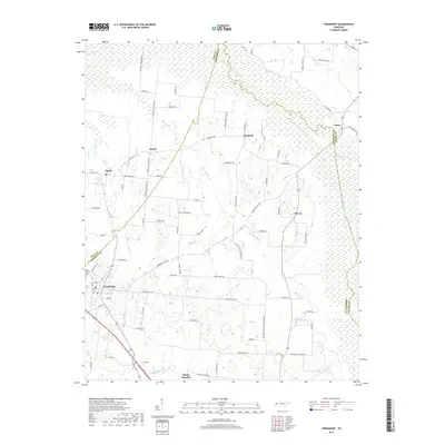
2019 Map of Friendship
USGS Topo · Published 2019About this map
Friendship serves as a central hub in this West Tennessee landscape, situated near the intersection of several local routes such as the Newbern - Friendship Rd and Old Hwy 20. The town is flanked by the Belle Vernon Cem to the northwest, providing a point of interest for genealogists tracking local families. The terrain is defined by the expansive wetlands of the Middle Fork Forked Deer River, which forms a wide, complex drainage system along the northern and eastern reaches of the area.
Find a feature on this map
81 named features on this map. Tap any name to fly to it.
Don’t see what you’re looking for? This feature index may not catch every label — zoom into the map to look around manually.
Map Details
Editions of this 2019 Friendship Map
This is the sole edition of this map. No revisions or reprints were ever made.
Other maps of this area

1939 · Dyersburg
USGS Topo · 1:62,500

1939 · Halls
USGS Topo · 1:62,500

1952 · Bonicord
USGS Topo · 1:24,000

1952 · Newbern
USGS Topo · 1:24,000

1952 · Chestnut Bluff
USGS Topo · 1:24,000

1956 · Dyersburg
USGS Topo · 1:250,000

1956 · Blytheville
USGS Topo · 1:250,000

1959 · Blytheville
USGS Topo · 1:250,000

1961 · Halls
USGS Topo · 1:62,500
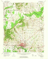
1961 · Dyersburg
USGS Topo · 1:62,500