
1945 Map of Frink
USGS Topo · Published 1945About this map
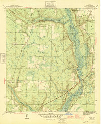
The Chipola River corridor dominates this 1944 survey, serving as a primary artery through the swampy lowlands of Calhoun County. Small riverside settlements and strategic access points like Smith Landing, Carter Landing, and Blazed Pine Landing illustrate the river's importance for local transport and commerce. Inland, the landscape is defined by extensive wetlands including Gum Bay and Graham Bay, with higher ground supporting isolated communities.
Find a feature on this map
34 named features on this map. Tap any name to fly to it.
Don’t see what you’re looking for? This feature index may not catch every label — zoom into the map to look around manually.
Map Details
Editions of this 1945 Frink Map
3 editions found
Other maps of this area

1944 · Clarksville
USGS Topo · 1:31,680

1945 · Dead Lake
USGS Topo · 1:31,680

1945 · Juniper Creek
USGS Topo · 1:31,680

1945 · Blountstown
USGS Topo · 1:31,680

1945 · Clarksville
USGS Topo · 1:31,680

1945 · Broad Branch
USGS Topo · 1:31,680

1945 · Estiffanulga
USGS Topo · 1:31,680

1945 · Orange
USGS Topo · 1:31,680

1945 · Tenmile Swamp
USGS Topo · 1:31,680

1954 · Tallahassee
USGS Topo · 1:250,000