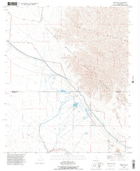
1992 Map of Frink NW
USGS Topo · Published 1995About this map
The Chocolate Mountain Aerial Gunnery Range dominates the eastern landscape of this 1990s desert survey, where military operations meet the harsh topography of the Chocolate Mountains. In the valley below, the Coachella Canal serves as a critical lifeline, engineered with a series of Siphons and a protective Levee system to manage water flow through this arid environment. This map illustrates the intersection of heavy industry, recreation, and defense, from the Mining Railroad and various Quarries to the concentrated settlements at Hot Mineral Spa and several Mobile Home Parks. Grounded in a low-elevation basin where the Sea-Level mark is recorded alongside a BM -192 benchmark, the region demonstrates the extreme geographical transition from the basin floor to the high-elevation training ranges.
Find a feature on this map
25 named features on this map. Tap any name to fly to it.
Don’t see what you’re looking for? This feature index may not catch every label — zoom into the map to look around manually.
Map Details
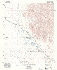
Editions of this 1992 Frink NW Map
2 editions found
Other maps of this area

1940 · Frink
USGS Topo · 1:62,500

1940 · Cottonwood Spring
USGS Topo · 1:62,500

1940 · Canyon Spring
USGS Topo · 1:62,500

1940 · Durmid
USGS Topo · 1:62,500

1943 · Canyon Spring
USGS Topo · 1:62,500

1944 · Cottonwood Spring
USGS Topo · 1:62,500

1944 · Durmid
USGS Topo · 1:62,500

1944 · Frink
USGS Topo · 1:62,500

1954 · Salton Sea
USGS Topo · 1:250,000

1955 · Salton Sea
USGS Topo · 1:250,000