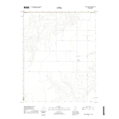
2019 Map of Frisco Creek East
USGS Topo · Published 2019About this map
Oslo Lutheran Church Cem sits as a central cultural landmark in this sparsely populated stretch of the Texas Panhandle, located near the intersection of Co RD F and Co RD 6. The landscape is defined by the incision of Frisco Cr in the northwest and Coldwater Cr in the southeast, where the drainage systems cut into the high plains of the Hansford County and Sherman County borderlands. This 2019 survey shows a systematic grid of section roads including Co RD 4 and Farm Rd 1262 that provide access to the expansive agricultural tracts surrounding the creeks. The placement of the cemetery and church site away from larger municipalities highlights the importance of rural parish centers in maintaining community identity across these wide-open cattle and farming regions.
Find a feature on this map
18 named features on this map. Tap any name to fly to it.
Don’t see what you’re looking for? This feature index may not catch every label — zoom into the map to look around manually.
Map Details
Editions of this 2019 Frisco Creek East Map
This is the sole edition of this map. No revisions or reprints were ever made.
Other maps of this area

1954 · Perryton
USGS Topo · 1:250,000

1958 · Perryton
USGS Topo · 1:250,000

1968 · Guymon SW
USGS Topo · 1:24,000

1973 · Goodwell SE
USGS Topo · 1:24,000

1973 · Goodwell
USGS Topo · 1:24,000

1973 · Gruver
USGS Topo · 1:24,000

1974 · Sunray 1 NW
USGS Topo · 1:24,000

1974 · Sunray 1 SW
USGS Topo · 1:24,000

1974 · Sunray 1 SE
USGS Topo · 1:24,000

1974 · Sunray 1 NE
USGS Topo · 1:24,000