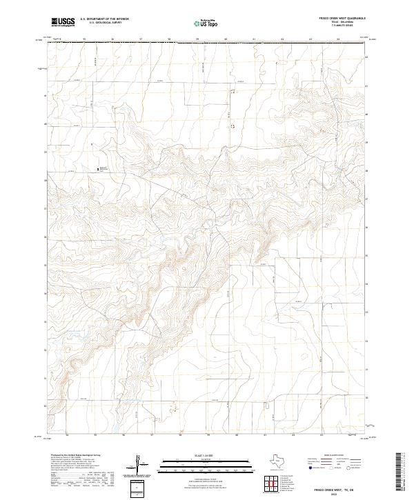
2022 Map of Frisco Creek West
USGS Topo · Published 2022About this map
Texhoma Mennonite Cem sits on the high ground of the Texas Panhandle, a significant local marker in this agrarian landscape defined by the drainage of Frisco Cr. The terrain is characterized by the winding path of the creek and its tributaries, which cut through the otherwise flat plains near the Oklahoma border. A network of rural roads, including Sure Hand Rd and Dale Rd, grid the territory, providing access to isolated homesteads and ranching operations. To the southwest, water management is visible through features like Runyan Lake and Bryson Lake, which provide essential resources in this semi-arid region. The map reflects a modern rural infrastructure where state routes like Fm 2349 connect the remote northern reaches of Sherman County to the wider region.
Find a feature on this map
22 named features on this map. Tap any name to fly to it.
Don’t see what you’re looking for? This feature index may not catch every label — zoom into the map to look around manually.
Map Details
Editions of this 2022 Frisco Creek West Map
This is the sole edition of this map. No revisions or reprints were ever made.
Other maps of this area

1954 · Perryton
USGS Topo · 1:250,000

1958 · Perryton
USGS Topo · 1:250,000

1973 · Goodwell SE
USGS Topo · 1:24,000

1973 · Texhoma North
USGS Topo · 1:24,000

1973 · Goodwell
USGS Topo · 1:24,000

1974 · Sunray 1 NW
USGS Topo · 1:24,000

1974 · Texhoma South
USGS Topo · 1:24,000

1974 · Stevens SE
USGS Topo · 1:24,000

1974 · Sunray 1 SW
USGS Topo · 1:24,000

1974 · Sunray 1 SE
USGS Topo · 1:24,000