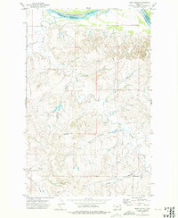
1972 Map of Frog Coulee
USGS Topo · Published 1975About this map
The Missouri River defines the northern boundary of this landscape, separating the rugged drainage basins of the south from the Fort Peck Indian Reservation to the north. In the early 1970s, this portion of Richland County was characterized by a complex network of coulees and creek beds that carved into the high plains. Vital community landmarks like St Bernards Ch and Lynn Cem are situated on the upland reaches, serving as focal points for the dispersed homesteads and farms of the era. The naming of Land Promised Coulee and Frog Coulee suggests the varied character of the local geography as it descends toward the Missouri. This survey captures a moment when the land was precisely divided by county lines, with the Roosevelt and Richland border cutting through the river's channel.
Find a feature on this map
13 named features on this map. Tap any name to fly to it.
Don’t see what you’re looking for? This feature index may not catch every label — zoom into the map to look around manually.
Map Details
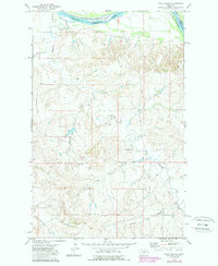
Editions of this 1972 Frog Coulee Map
2 editions found
Other maps of this area

1909 · Glendive
USGS Topo · 1:250,000

1914 · Brockton
USGS Topo · 1:62,500

1948 · Fort Kipp
USGS Topo · 1:24,000

1949 · Fort Kipp
USGS Topo · 1:24,000

1950 · Calais
USGS Topo · 1:24,000

1954 · Glendive
USGS Topo · 1:250,000

1954 · Wolf Point
USGS Topo · 1:250,000

1957 · Glendive
USGS Topo · 1:250,000

1958 · Wolf Point
USGS Topo · 1:250,000

1958 · Glendive
USGS Topo · 1:250,000