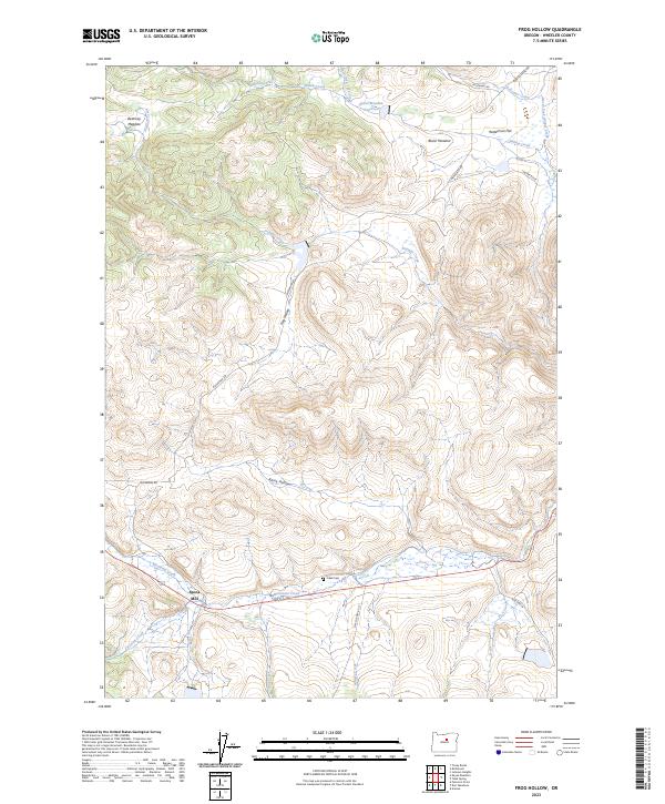
2023 Map of Frog Hollow
USGS Topo · Published 2023About this map
Caleb Cem and the small settlement of Spoos Mill sit along the banks of Mountain Creek, marking the lowlands of this central Wheeler County landscape. The terrain is characterized by a series of named drainages and hollows, including the namesake Frog Hollow and Rhine Hollow, which carry seasonal water from higher elevations down toward the larger creek beds.
Find a feature on this map
30 named features on this map. Tap any name to fly to it.
Don’t see what you’re looking for? This feature index may not catch every label — zoom into the map to look around manually.
Map Details
Editions of this 2023 Frog Hollow Map
This is the sole edition of this map. No revisions or reprints were ever made.
Other maps of this area

1926 · Mitchell
USGS Topo · 1:125,000

1932 · Dayville
USGS Topo · 1:125,000

1936 · Dayville
USGS Topo · 1:125,000

1953 · Richmond
USGS Topo · 1:62,500

1955 · Bend
USGS Topo · 1:250,000

1955 · Canyon City
USGS Topo · 1:250,000

1957 · Bend
USGS Topo · 1:250,000

1958 · Bend
USGS Topo · 1:250,000

1959 · Canyon City
USGS Topo · 1:250,000

1966 · Peterson Point
USGS Topo · 1:24,000