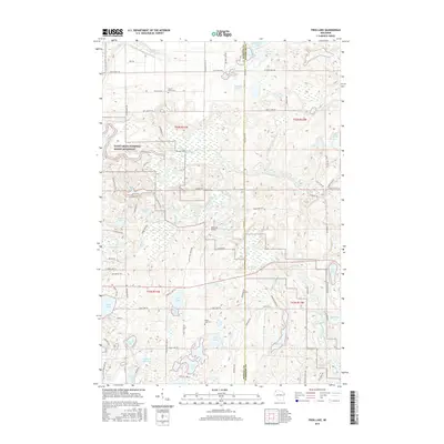
2015 Map of Frog Lake
USGS Topo · Published 2015About this map
The Saint Croix National Scenic Riverway protects the riparian corridor where the Namekagon River and Totagatic River wind through the glaciated terrain of Burnett and Washburn counties. This landscape is defined by its complex hydrology, featuring dozens of named water bodies like Frog Lake, Webb Lake, and Lake Nancy. The area’s human history is marked by quiet rural landmarks, including the McDowel Bridge and local resting places such as Webb Lake Cem and Forest Home Cem. A network of specialized roads and paths, including the Snowmobile Trl and Dry Landing Rd, highlights the region's focus on outdoor access and recreation. Smaller features like Misty Bog Rd and Meeker Run Lake illustrate the specific environmental niches found within this Northwoods setting.
Find a feature on this map
85 named features on this map. Tap any name to fly to it.
Don’t see what you’re looking for? This feature index may not catch every label — zoom into the map to look around manually.
Map Details
Editions of this 2015 Frog Lake Map
This is the sole edition of this map. No revisions or reprints were ever made.
Other maps of this area

1947 · Minong
USGS Topo · 1:48,000

1948 · Spooner
USGS Topo · 1:48,000

1949 · Hertel
USGS Topo · 1:48,000

1949 · Minong
USGS Topo · 1:48,000

1949 · Webb Lake
USGS Topo · 1:48,000

1949 · Spooner
USGS Topo · 1:48,000

1953 · Ashland
USGS Topo · 1:250,000

1953 · Duluth
USGS Topo · 1:250,000

1953 · Rice Lake
USGS Topo · 1:250,000

1953 · Stillwater
USGS Topo · 1:250,000