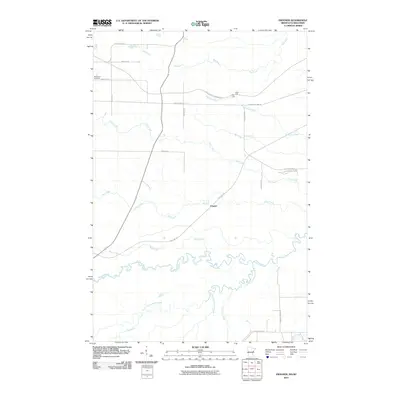
2010 Map of Frogner
USGS Topo · Published 2010About this map
Frogner sits at a crossroads of recreational trails and meandering waterways along the Minnesota and Wisconsin border. The landscape is defined by the complex drainage patterns of the Nemadji River and its many tributaries, including the South Fork Nemadji River, Section Thirty-six Creek, and Rock Creek. These streams flow through a region where old rail corridors have been repurposed for modern use, most notably the Soo Line Trl and the Alex Laveau Memorial Trl. Local heritage is anchored by the MacCabee Cemetery on Cemetery Rd, while the rural road network, including Ableiter Rd and Garthus Rd, provides access to the scattered homesteads and timberlands that characterize this border country. The State Line itself cuts vertically through the quadrangle, separating the drainage of the Pokegama River from the western reaches of the Net River.
Find a feature on this map
29 named features on this map. Tap any name to fly to it.
Don’t see what you’re looking for? This feature index may not catch every label — zoom into the map to look around manually.
Map Details
Editions of this 2010 Frogner Map
This is the sole edition of this map. No revisions or reprints were ever made.
Other maps of this area

1915 · Superior
USGS Topo · 1:48,000

1917 · Superior
USGS Topo · 1:62,500

1949 · Holyoke
USGS Topo · 1:48,000

1949 · Patzau
USGS Topo · 1:48,000

1953 · Duluth
USGS Topo · 1:250,000

1954 · West Duluth
USGS Topo · 1:24,000

1954 · Cloquet
USGS Topo · 1:24,000

1954 · Borea
USGS Topo · 1:24,000

1954 · Foxboro
USGS Topo · 1:24,000

1954 · Wrenshall
USGS Topo · 1:24,000