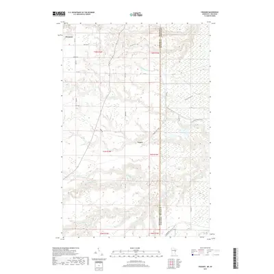
2019 Map of Frogner
USGS Topo · Published 2019About this map
Wrenshall sits at the northwestern corner of this borderlands landscape, where the flat upland plains of Carlton County transition into the complex river valleys that define the Minnesota-Wisconsin state line. The Nemadji River and its major tributaries, including the South Fork Nemadji River and Net River, dominate the southern half of the map with deeply incised, meandering drainage patterns that suggest a highly active hydrological environment.
Find a feature on this map
41 named features on this map. Tap any name to fly to it.
Don’t see what you’re looking for? This feature index may not catch every label — zoom into the map to look around manually.
Map Details
Editions of this 2019 Frogner Map
This is the sole edition of this map. No revisions or reprints were ever made.
Other maps of this area
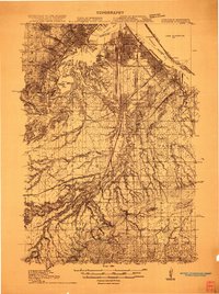
1915 · Superior
USGS Topo · 1:48,000
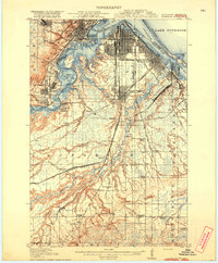
1917 · Superior
USGS Topo · 1:62,500
1949 · Holyoke
USGS Topo · 1:48,000
1949 · Patzau
USGS Topo · 1:48,000

1953 · Duluth
USGS Topo · 1:250,000
1954 · West Duluth
USGS Topo · 1:24,000
1954 · Cloquet
USGS Topo · 1:24,000
1954 · Borea
USGS Topo · 1:24,000
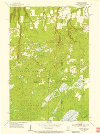
1954 · Foxboro
USGS Topo · 1:24,000
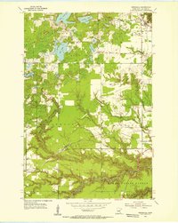
1954 · Wrenshall
USGS Topo · 1:24,000