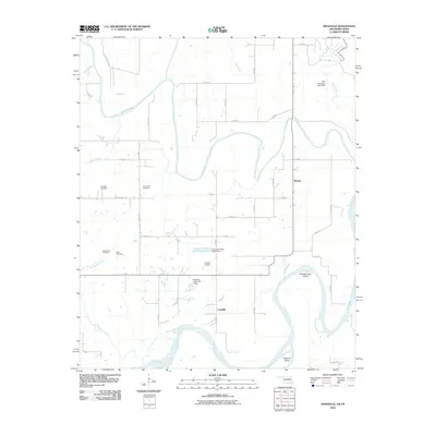
2010 Map of Frogville
USGS Topo · Published 2010About this map
The Red River defines the southern boundary of this Choctaw County landscape, where the Kiamichi River winds through the central territory before its confluence with the larger waterway. The small settlements of Frogville and Huskey serve as the primary hubs for this rural area, which is notably dense with family and community burial grounds including Everidge Cemetery, Spring Hill Cemetery, and Oaks Cemetery. This distribution of cemeteries, along with the Missionary Cemetery, suggests a long-settled community with deep genealogical roots centered around the creek valleys.
Find a feature on this map
43 named features on this map. Tap any name to fly to it.
Don’t see what you’re looking for? This feature index may not catch every label — zoom into the map to look around manually.
Map Details
Editions of this 2010 Frogville Map
This is the sole edition of this map. No revisions or reprints were ever made.
Other maps of this area

1901 · Alikchi
USGS Topo · 1:125,000

1950 · Mcalester
USGS Topo · 1:250,000

1951 · Slate Shoals
USGS Topo · 1:24,000

1951 · Frogville
USGS Topo · 1:24,000

1951 · Shoals
USGS Topo · 1:24,000

1951 · Kiomatia
USGS Topo · 1:24,000

1951 · Woodland
USGS Topo · 1:24,000

1951 · Manchester
USGS Topo · 1:24,000

1953 · Texarkana
USGS Topo · 1:250,000

1956 · Texarkana
USGS Topo · 1:250,000