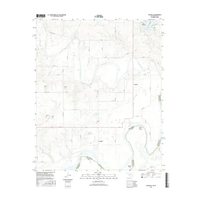
2016 Map of Frogville
USGS Topo · Published 2016About this map
The Red River forms a wide, meandering boundary between Oklahoma and Texas at the southern edge of this Choctaw County landscape. In the north, the historic settlement of Fort Towson sits near the shores of Lake Raymond Gary, while the community of Frogville anchors the southern interior. The map is particularly rich for genealogical research, documenting several rural burial sites including Everidge Cem, Spring Hill Cem, Missionary Cem, and Oakes Cem.
Find a feature on this map
54 named features on this map. Tap any name to fly to it.
Don’t see what you’re looking for? This feature index may not catch every label — zoom into the map to look around manually.
Map Details
Editions of this 2016 Frogville Map
This is the sole edition of this map. No revisions or reprints were ever made.
Other maps of this area

1901 · Alikchi
USGS Topo · 1:125,000

1950 · Mcalester
USGS Topo · 1:250,000

1951 · Slate Shoals
USGS Topo · 1:24,000

1951 · Frogville
USGS Topo · 1:24,000

1951 · Shoals
USGS Topo · 1:24,000

1951 · Kiomatia
USGS Topo · 1:24,000

1951 · Woodland
USGS Topo · 1:24,000

1951 · Manchester
USGS Topo · 1:24,000

1953 · Texarkana
USGS Topo · 1:250,000

1956 · Texarkana
USGS Topo · 1:250,000