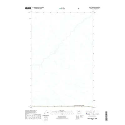
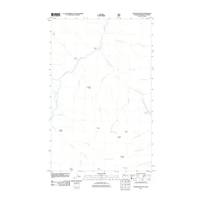
2020 Map of Frosty Creek OE N
USGS Topo · Published 2020About this map
Canada marks the southern edge of this high-latitude survey, where the international border meets the northern boundary of the Mount Baker National Forest. This remote alpine landscape is defined by its complex hydrographic network, showing a series of unnamed streams and high-elevation drainage systems that feed into larger regional basins. The absence of human-made infrastructure, such as roads, mines, or buildings, underscores the wilderness character of this international border zone during the early twenty-first century. Researchers of ecological history or regional border management will find a clear record of the watershed patterns and natural terrain as it existed before contemporary environmental shifts or land-use changes.
Find a feature on this map
2 named features on this map. Tap any name to fly to it.
Don’t see what you’re looking for? This feature index may not catch every label — zoom into the map to look around manually.
Map Details
Editions of this 2020 Frosty Creek OE N Map
This is the sole edition of this map. No revisions or reprints were ever made.
Other maps of this area

1920 · Slate Pass
USGS Topo · 1:125,000

1955 · Concrete
USGS Topo · 1:250,000

1958 · Concrete
USGS Topo · 1:250,000

1962 · Concrete
USGS Topo · 1:250,000

1969 · Frosty Creek
USGS Topo · 1:24,000

1969 · Tatoosh Buttes
USGS Topo · 1:24,000
2002 · Tatoosh Buttes
USGS Topo · 1:24,000
2002 · Frosty Creek
USGS Topo · 1:24,000
2002 · Castle Peak
USGS Topo · 1:24,000
2011 · Tatoosh Buttes
USGS Topo · 1:24,000