
1943 Map of Frozen Point
USGS Topo · Published 1952About this map
The Bolivar Peninsula separates the churning waters of the Gulf of Mexico from the sheltered expanse of East Bay in this coastal Texas survey. The landscape is defined by an intricate network of marshes and watercourses, including the massive Willow Marsh and Robinson Lake to the north. These wetlands are drained by systems like Oyster Bayou and Cane Bayou, which meander toward the bay. On the peninsula itself, the Intracoastal Waterway cuts a straight path for marine traffic, passing near the small settlement of Rollover. Local industry is evidenced by the Sun Oil Company Canal, while traditional landmarks like Coulter Island and Long Point provide orientation across the low-lying terrain. The map also delineates the boundary between Chambers and Galveston Counties as it crosses the water.
Find a feature on this map
22 named features on this map. Tap any name to fly to it.
Don’t see what you’re looking for? This feature index may not catch every label — zoom into the map to look around manually.
Map Details
Editions of this 1943 Frozen Point Map
This is the sole edition of this map. No revisions or reprints were ever made.
Other maps of this area

1931 · Flake
USGS Topo · 1:24,000

1931 · High Island
USGS Topo · 1:24,000

1931 · Frozen Point
USGS Topo · 1:24,000

1933 · Frozen Point
USGS Topo · 1:31,680

1933 · Caplen
USGS Topo · 1:31,680

1933 · Whites Lake
USGS Topo · 1:31,680

1933 · Flake
USGS Topo · 1:31,680

1943 · High Island
USGS Topo · 1:31,680
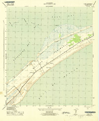
1943 · Flake
USGS Topo · 1:25,000
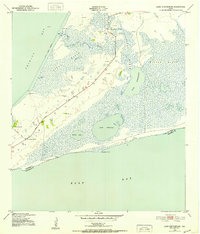
1943 · Lake Stephenson
USGS Topo · 1:24,000