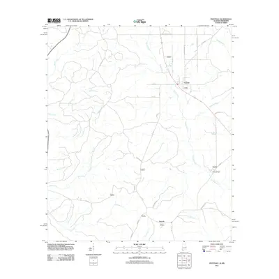
2011 Map of Fruitdale
USGS Topo · Published 2011About this map
Fruitdale anchors the northern portion of this Washington County landscape, where the Fruitdale Post Office and Fruitdale Cemetery mark the heart of the settlement. The area's geography is defined by the winding course of the Escatawpa River and its numerous tributaries, including Brushy Creek and Turkey Creek. Further south, the communities of Epworth and Escatawpa are situated near several family and community burial grounds, such as Macedonia Cemetery and Grimes Cemetery. This 2011 survey reflects a rural infrastructure built around a network of county roads like Co Hwy-1 and Co Hwy-20, which bridge the many creek systems feeding into the river. The map provides a detailed view of the local drainage patterns and established homestead locations within the pine-forested terrain of southwestern Alabama.
Find a feature on this map
39 named features on this map. Tap any name to fly to it.
Don’t see what you’re looking for? This feature index may not catch every label — zoom into the map to look around manually.
Map Details
Editions of this 2011 Fruitdale Map
This is the sole edition of this map. No revisions or reprints were ever made.
Other maps of this area

1942 · Deer Park
USGS Topo · 1:62,500

1943 · Deer Park
USGS Topo · 1:62,500

1953 · Hattiesburg
USGS Topo · 1:250,000

1958 · Hattiesburg
USGS Topo · 1:250,000

1964 · Knobtown
USGS Topo · 1:24,000

1964 · Clark
USGS Topo · 1:24,000

1972 · Leakesville
USGS Topo · 1:24,000

1974 · Fruitdale
USGS Topo · 1:24,000

1974 · Chatom
USGS Topo · 1:24,000

1974 · State Line
USGS Topo · 1:24,000