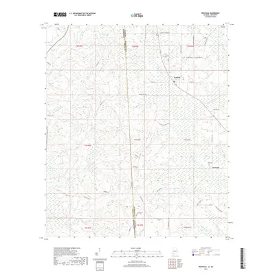
2018 Map of Fruitdale
USGS Topo · Published 2018About this map
The borderlands of Washington County, Alabama, and Greene County, Mississippi, are defined by a network of creeks feeding into the Escatawpa River. This landscape is primarily rural, characterized by scattered family settlements and community centers like Fruitdale and Escatawpa. The proliferation of local burial grounds, such as Macedonia Cem, Grimes Cem, and Epworth Cem, suggests a deeply rooted residential history tied to the land. Roads like Hyatt Platt Rd and Pine Tucky Rd wind through the terrain, connecting isolated homesteads to the primary north-south corridor. The hydrology of the region is prominent, with named water bodies like Johnson Cr, Griffin Cr, and Turkey Cr carving through the lowlands, shaping the development of local agriculture and timber interests along the state line.
Find a feature on this map
56 named features on this map. Tap any name to fly to it.
Don’t see what you’re looking for? This feature index may not catch every label — zoom into the map to look around manually.
Map Details
Editions of this 2018 Fruitdale Map
This is the sole edition of this map. No revisions or reprints were ever made.
Other maps of this area

1942 · Deer Park
USGS Topo · 1:62,500

1943 · Deer Park
USGS Topo · 1:62,500

1953 · Hattiesburg
USGS Topo · 1:250,000

1958 · Hattiesburg
USGS Topo · 1:250,000

1964 · Knobtown
USGS Topo · 1:24,000

1964 · Clark
USGS Topo · 1:24,000

1972 · Leakesville
USGS Topo · 1:24,000

1974 · Fruitdale
USGS Topo · 1:24,000

1974 · Chatom
USGS Topo · 1:24,000

1974 · State Line
USGS Topo · 1:24,000