
1962 Map of Fruitland
USGS Topo · Published 1963About this map
The high-desert settlement of Fruitland serves as the central hub of this Duchesne County landscape, positioned along a primary transportation route flanked by a Telephone line. The terrain is defined by the massive ridge of Currant Creek Mountain in the south, which dominates the topography between the drainage of Currant Creek and the Strawberry River. This era of the early 1960s shows a landscape transitioning from traditional ranching and resource extraction toward modern connectivity, evidenced by the numerous Jeep Trails that crisscross the steep draws of Red Creek and Grass Hollow. Local landmarks like a small Cemetery west of the main settlement and Hayes Ponds near the river provide specific points of interest for genealogists and local historians. To the southeast, a lone Prospect suggests the persistent search for mineral wealth in the rugged breaks above the river valley.
Find a feature on this map
16 named features on this map. Tap any name to fly to it.
Don’t see what you’re looking for? This feature index may not catch every label — zoom into the map to look around manually.
Map Details
Editions of this 1962 Fruitland Map
3 editions found
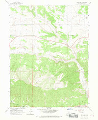
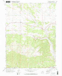
Other maps of this area

1885 · Uinta
USGS Topo · 1:250,000

1954 · Salt Lake City
USGS Topo · 1:250,000

1958 · Salt Lake City
USGS Topo · 1:250,000

1960 · Salt Lake City
USGS Topo · 1:250,000

1962 · Deep Creek Canyon
USGS Topo · 1:24,000

1962 · Strawberry Pinnacles
USGS Topo · 1:24,000
1962 · Sams Canyon
USGS Topo · 1:24,000

1962 · Tabiona
USGS Topo · 1:24,000

1962 · Raspberry Knoll
USGS Topo · 1:24,000
1962 · Strawberry Peak
USGS Topo · 1:24,000