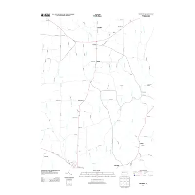
2013 Map of Fryburg
USGS Topo · Published 2013About this map
Shippenville anchors the southern edge of this western Pennsylvania landscape, where a dense network of country roads connects a series of small rural settlements. Moving north along the central corridor, the topography transitions from the outskirts of larger towns into the heart of the region's agricultural and forest land, passing through Millerstown and Fryburg. The area is defined by its intricate drainage patterns, with Mahles Run, Little Paint Cr, and Cooper Run carving through the terrain before feeding into larger waterways.
Find a feature on this map
117 named features on this map. Tap any name to fly to it.
Don’t see what you’re looking for? This feature index may not catch every label — zoom into the map to look around manually.
Map Details
Editions of this 2013 Fryburg Map
This is the sole edition of this map. No revisions or reprints were ever made.
Other maps of this area

1906 · Clarion
USGS Topo · 1:62,500

1907 · Clarion
USGS Topo · 1:62,500

1907 · Foxburg
USGS Topo · 1:62,500

1908 · Foxburg
USGS Topo · 1:62,500

1922 · Oil City
USGS Topo · 1:48,000

1922 · Tionesta
USGS Topo · 1:62,500

1924 · Oil City
USGS Topo · 1:62,500

1924 · Tionesta
USGS Topo · 1:62,500

1943 · Oil City
USGS Topo · 1:62,500

1946 · Tionesta
USGS Topo · 1:62,500