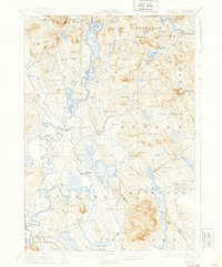
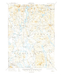
1911 Map of Fryeburg
USGS Topo · Published 1939About this map
Fryeburg and its surrounding river valleys are the focal point of this early 20th-century survey of western Maine. The landscape is defined by the winding Saco River, which snakes through the southern lowlands near West Fryeburg and Fryeburg Center, creating a complex network of oxbows and fertile plains. To the north, the massive Kezar Lake dominates the terrain, partitioned into Upper Bay, Middle Bay, and Lower Bay.
Find a feature on this map
153 named features on this map. Tap any name to fly to it.
Don’t see what you’re looking for? This feature index may not catch every label — zoom into the map to look around manually.
Map Details
Editions of this 1911 Fryeburg Map
6 editions found
Other maps of this area

1893 · Gorham
USGS Topo · 1:62,500

1894 · North Conway
USGS Topo · 1:62,500

1896 · Norway
USGS Topo · 1:62,500

1896 · Sebago
USGS Topo · 1:62,500

1896 · North Conway
USGS Topo · 1:62,500

1896 · Gorham
USGS Topo · 1:62,500

1909 · Fryeburg
USGS Topo · 1:62,500

1910 · Kezar Falls
USGS Topo · 1:48,000

1911 · Fryeburg
USGS Topo · 1:62,500

1911 · Kezar Falls
USGS Topo · 1:62,500