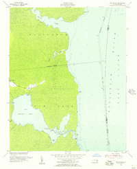
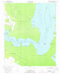
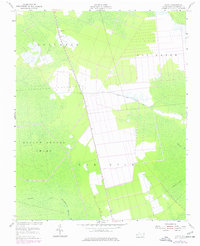
1953 Map of Frying Pan
USGS Topo · Published 1956This historical map portrays the area of Frying Pan in 1953, primarily covering Tyrrell County as well as portions of Dare County. Featuring a scale of 1:24000, this map provides a highly detailed snapshot of the terrain, roads, buildings, counties, and historical landmarks in the Frying Pan region at the time. Published in 1956, it is one of 3 known editions of this map due to revisions or reprints.
Find a feature on this map
27 named features on this map. Tap any name to fly to it.
Don’t see what you’re looking for? This feature index may not catch every label — zoom into the map to look around manually.
Map Details
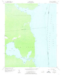
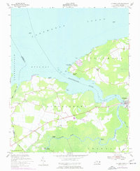
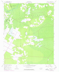
Editions of this 1953 Frying Pan Map
3 editions found
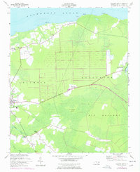
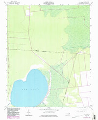
Historical Maps of Frying Pan Through Time
22 maps found
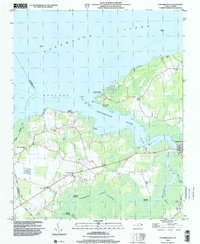
1953 Columbia East
Tyrrell County, NC
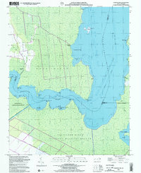
1953 Columbia West
Tyrrell County, NC
1953 Fairfield NE
Tyrrell County, NC
1953 Fairfield NW
Tyrrell County, NC
1953 Fort Landing
Tyrrell County, NC
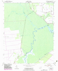
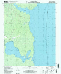
1953 Frying Pan
Tyrrell County, NC
1953 Scotia
Tyrrell County, NC
1954 Creswell SE
Tyrrell County, NC
1954 New Lake
Tyrrell County, NC
1998 Columbia East
Tyrrell County, NC
1998 Columbia West
Tyrrell County, NC
2000 Fairfield NE
Tyrrell County, NC
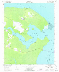
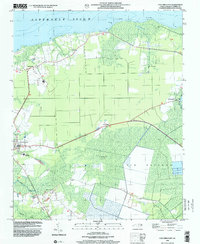
2002 Frying Pan
Tyrrell County, NC
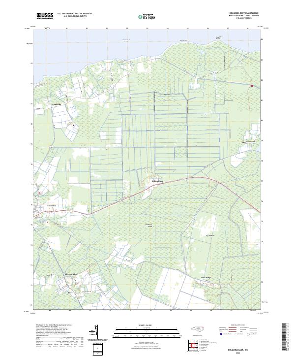
2022 Columbia East
Tyrrell County, NC
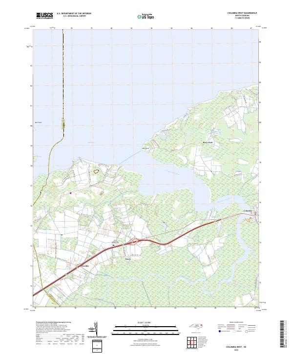
2022 Columbia West
Tyrrell County, NC
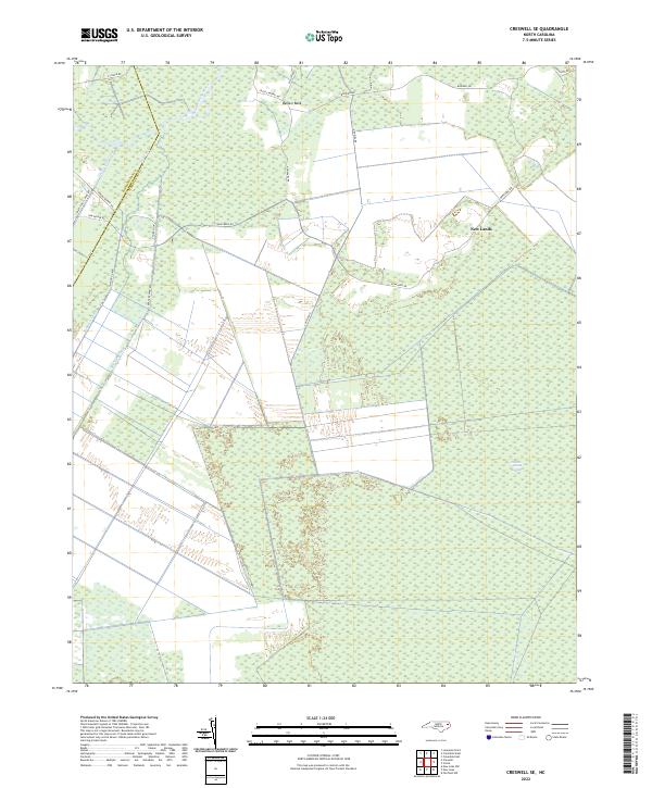
2022 Creswell SE
Tyrrell County, NC
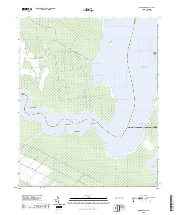
2022 Fairfield NE
Tyrrell County, NC
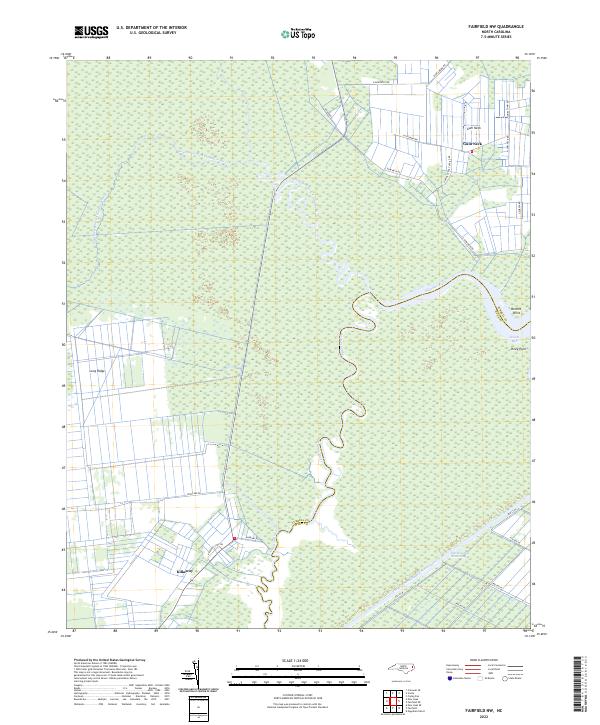
2022 Fairfield NW
Tyrrell County, NC
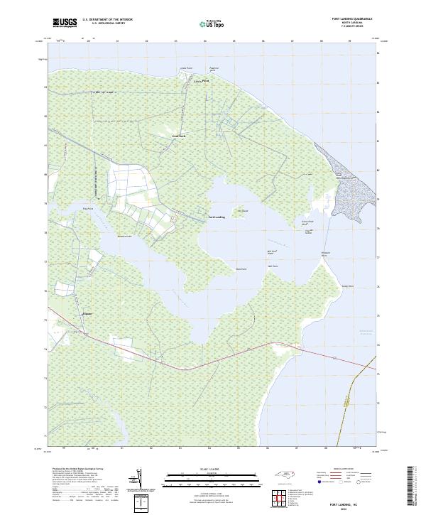
2022 Fort Landing
Tyrrell County, NC
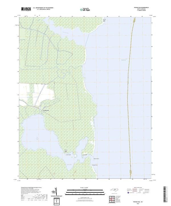
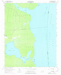
2022 Frying Pan
Tyrrell County, NC
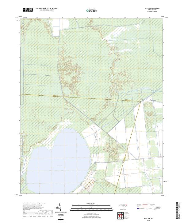
2022 New Lake
Tyrrell County, NC
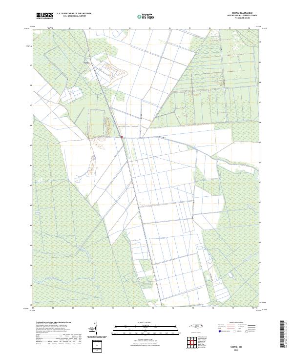
2022 Scotia
Tyrrell County, NC