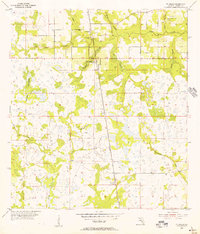
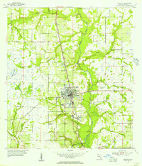
1955 Map of Ft. Green
USGS Topo · Published 1956About this map
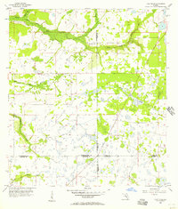
Ft Green and Ft Green Springs anchor this rural landscape in the mid-1950s, a time when the Seaboard Air Line railroad served as the primary industrial artery through Hardee County. The map reveals a mosaic of wetland and prairie terrain, characterized by the dense Mitchell Hammock and the broad reaches of Gum Swamp. Water dominates the geography, with numerous named branches and creeks like Payne Creek and the aptly named Troublesome Creek winding through the citrus and ranching country. Local history is preserved in small landmarks such as the Ft Green Post Office and the Olive Branch Cem near the northern boundary. To the south, the small settlement of Vandolah sits along the rail line, surrounded by a complex network of drainage features including Lettis Creek and Brushy Creek, reflecting the traditional Florida interior before modern large-scale development.
Find a feature on this map
19 named features on this map. Tap any name to fly to it.
Don’t see what you’re looking for? This feature index may not catch every label — zoom into the map to look around manually.
Map Details
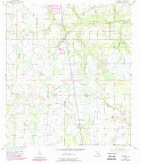
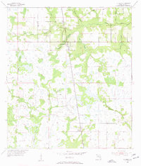
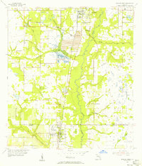
Editions of this 1955 Ft. Green Map
3 editions found
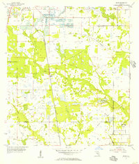
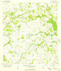
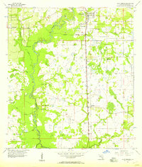
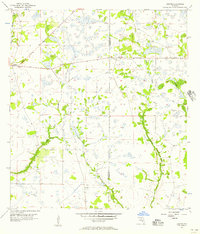
Other maps of this area
1955 · Ft. Green
USGS Topo · 1:24,000
1955 · Bowling Green
USGS Topo · 1:24,000
1955 · Wauchula
USGS Topo · 1:24,000
1955 · Baird
USGS Topo · 1:24,000
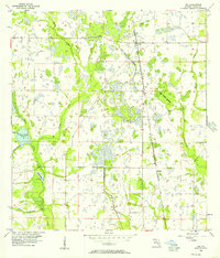
1956 · Ona
USGS Topo · 1:24,000
1956 · Myakka Head
USGS Topo · 1:24,000
1956 · Duette NE
USGS Topo · 1:24,000
1956 · Zolfo Springs
USGS Topo · 1:24,000
1956 · Duette
USGS Topo · 1:24,000

1956 · Tampa
USGS Topo · 1:250,000