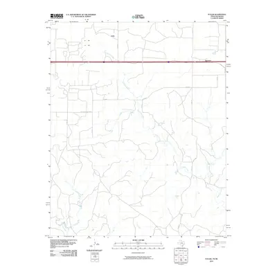
2010 Map of Fuller
USGS Topo · Published 2010About this map
Fuller and Benonine sit within a rural landscape defined by the drainage networks of the eastern Texas Panhandle and western Oklahoma borderlands. This 2010 survey illustrates a region where local transit is dominated by an organized grid of county roads, such as Co Rd 26 and Co Rd 58, which facilitate movement between sparse settlements and agricultural tracts. The terrain is notably dissected by the winding path of North Elm Creek, which travels southeast across the quadrangle toward the Oklahoma line, joined by smaller tributaries like Lost Creek and Crow Creek. The inclusion of Co Rd Shopping Center reflects the evolving commercial nomenclature of the modern rural road system, even in areas where traditional town centers remain small.
Find a feature on this map
17 named features on this map. Tap any name to fly to it.
Don’t see what you’re looking for? This feature index may not catch every label — zoom into the map to look around manually.
Map Details
Editions of this 2010 Fuller Map
This is the sole edition of this map. No revisions or reprints were ever made.
Other maps of this area

1954 · Amarillo
USGS Topo · 1:250,000

1955 · Clinton
USGS Topo · 1:250,000

1957 · Clinton
USGS Topo · 1:250,000

1958 · Amarillo
USGS Topo · 1:250,000

1960 · Sweetwater
USGS Topo · 1:62,500

1961 · Erick
USGS Topo · 1:62,500

1962 · Twitty
USGS Topo · 1:24,000

1962 · Kelton SE
USGS Topo · 1:24,000

1963 · Fulller
USGS Topo · 1:24,000

1963 · Shamrock East
USGS Topo · 1:24,000