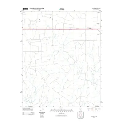
2012 Map of Fuller
USGS Topo · Published 2012About this map
Fuller and Benonine sit along the high plains of the Texas-Oklahoma border, where the interstate corridor dictates the modern landscape. This survey captures a region defined by a network of rural routes such as Co Road SB and N 1670 Rd that navigate the drainages of the eastern panhandle. The terrain is deeply incised by the seasonal waters of N Elm Cr, Lost Cr, and Crow Cr, showing the persistent influence of hydrology on local land use. While the Frontage Rd and State Hwy Spur 30 highlight contemporary transit, labels like Co Road Shopping Ctr suggest specific nodes of commerce serving this cross-border community. This map is particularly useful for observing how the grid of county roads, including Co Rd 26 and Co Rd 270, persists even as highway developments shift the focus of regional travel.
Find a feature on this map
21 named features on this map. Tap any name to fly to it.
Don’t see what you’re looking for? This feature index may not catch every label — zoom into the map to look around manually.
Map Details
Editions of this 2012 Fuller Map
This is the sole edition of this map. No revisions or reprints were ever made.
Other maps of this area

1954 · Amarillo
USGS Topo · 1:250,000

1955 · Clinton
USGS Topo · 1:250,000

1957 · Clinton
USGS Topo · 1:250,000

1958 · Amarillo
USGS Topo · 1:250,000

1960 · Sweetwater
USGS Topo · 1:62,500

1961 · Erick
USGS Topo · 1:62,500

1962 · Twitty
USGS Topo · 1:24,000

1962 · Kelton SE
USGS Topo · 1:24,000

1963 · Fulller
USGS Topo · 1:24,000

1963 · Shamrock East
USGS Topo · 1:24,000