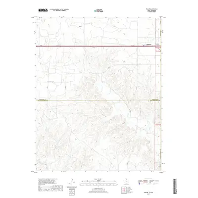
2019 Map of Fuller
USGS Topo · Published 2019About this map
Texola sits at the literal edge of the Oklahoma-Texas border, serving as a gateway between the two states in this modern survey. The landscape transitions from the flat plains of the north, where Fuller and Benonine are situated along the interstate corridor, into the more dissected drainages of the south. This area is defined by the branching networks of N Elm Cr and S Elm Cr, which carve through the terrain as they flow toward Lost Cr. The map captures the meeting point of four distinct jurisdictions: the Oklahoma border and the dividing line between Wheeler Co and Collingsworth Co in Texas. This convergence of political boundaries and natural hydrology creates a unique geographic profile, documenting the road networks like Co Rd 26 and Co Rd Shopping Center that connect these dispersed agricultural communities.
Find a feature on this map
22 named features on this map. Tap any name to fly to it.
Don’t see what you’re looking for? This feature index may not catch every label — zoom into the map to look around manually.
Map Details
Editions of this 2019 Fuller Map
This is the sole edition of this map. No revisions or reprints were ever made.
Other maps of this area

1954 · Amarillo
USGS Topo · 1:250,000

1955 · Clinton
USGS Topo · 1:250,000

1957 · Clinton
USGS Topo · 1:250,000

1958 · Amarillo
USGS Topo · 1:250,000

1960 · Sweetwater
USGS Topo · 1:62,500

1961 · Erick
USGS Topo · 1:62,500

1962 · Twitty
USGS Topo · 1:24,000

1962 · Kelton SE
USGS Topo · 1:24,000

1963 · Fulller
USGS Topo · 1:24,000

1963 · Shamrock East
USGS Topo · 1:24,000