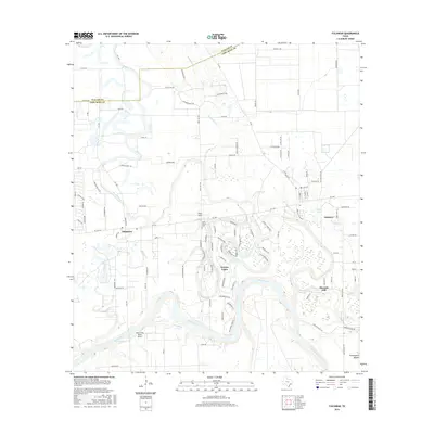
2016 Map of Fulshear
USGS Topo · Published 2016About this map
The Brazos River carves a massive, looping meander across this landscape, defining the southern geography of Fort Bend County. Along its northern banks, the community of Weston Lakes is established within a deep river bend, while the older settlement of Fulshear sits to the east near Fulshear Lake. The map reveals a transition from traditional ranching and agricultural land use to suburban residential growth, particularly evident in the winding street networks north of the river.
Find a feature on this map
107 named features on this map. Tap any name to fly to it.
Don’t see what you’re looking for? This feature index may not catch every label — zoom into the map to look around manually.
Map Details
Editions of this 2016 Fulshear Map
This is the sole edition of this map. No revisions or reprints were ever made.
Other maps of this area

1915 · Katy
USGS Topo · 1:24,000

1950 · Houston
USGS Topo · 1:250,000

1953 · Seguin
USGS Topo · 1:250,000

1955 · Brookshire
USGS Topo · 1:62,500

1955 · Richmond
USGS Topo · 1:62,500

1956 · Sealy
USGS Topo · 1:62,500

1956 · Wallis
USGS Topo · 1:62,500

1956 · Houston
USGS Topo · 1:250,000

1958 · Seguin
USGS Topo · 1:250,000

1960 · Wallis
USGS Topo · 1:24,000