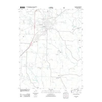
2012 Map of Fulton
USGS Topo · Published 2012About this map
William Woods University serves as a central anchor for the city of Fulton, where the urban grid meets the winding courses of Stinson Creek and Smith Branch. The area is particularly notable for its concentration of commemorative and educational sites, including the Winston Churchill Memorial and Library. Beyond the city limits, the landscape transitions into the rolling terrain of Callaway County, marked by traditional rural settlements such as Hams Prairie and Pitcher.
Find a feature on this map
104 named features on this map. Tap any name to fly to it.
Don’t see what you’re looking for? This feature index may not catch every label — zoom into the map to look around manually.
Map Details
Editions of this 2012 Fulton Map
This is the sole edition of this map. No revisions or reprints were ever made.
Other maps of this area

1886 · Jefferson City
USGS Topo · 1:125,000

1890 · Fulton
USGS Topo · 1:125,000

1894 · Jefferson City
USGS Topo · 1:125,000

1928 · Fulton
USGS Topo · 1:62,500

1931 · Fulton
USGS Topo · 1:62,500

1939 · Jefferson City
USGS Topo · 1:62,500

1942 · Jefferson City
USGS Topo · 1:62,500

1944 · Millersburg
USGS Topo · 1:62,500

1945 · Mokane
USGS Topo · 1:62,500

1946 · Millersburg
USGS Topo · 1:62,500