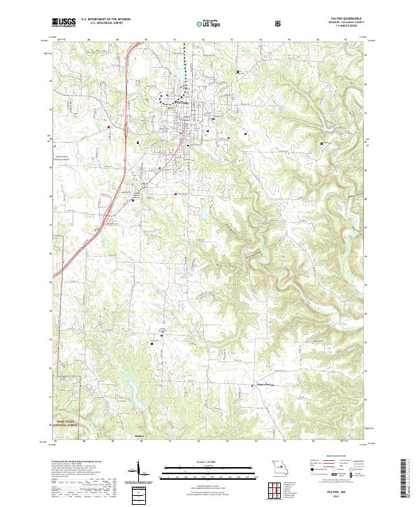
2021 Map of Fulton
USGS Topo · Published 2021About this map
Fulton serves as a prominent educational and administrative hub on this Missouri landscape, anchored by the campuses of William Woods University and Westminster College. The town's grid is centered around the Callaway County Courthouse, with several local burial grounds including Hillcrest Cem and Southside Cem marking the historical community footprint. The terrain transitions from the developed streets of the county seat into the undulating hills of the Mark Twain National Forest to the south.
Find a feature on this map
148 named features on this map. Tap any name to fly to it.
Don’t see what you’re looking for? This feature index may not catch every label — zoom into the map to look around manually.
Map Details
Editions of this 2021 Fulton Map
This is the sole edition of this map. No revisions or reprints were ever made.
Other maps of this area

1886 · Jefferson City
USGS Topo · 1:125,000

1890 · Fulton
USGS Topo · 1:125,000

1894 · Jefferson City
USGS Topo · 1:125,000

1928 · Fulton
USGS Topo · 1:62,500

1931 · Fulton
USGS Topo · 1:62,500

1939 · Jefferson City
USGS Topo · 1:62,500

1942 · Jefferson City
USGS Topo · 1:62,500

1944 · Millersburg
USGS Topo · 1:62,500

1945 · Mokane
USGS Topo · 1:62,500

1946 · Millersburg
USGS Topo · 1:62,500