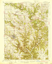
1931 Map of Fulton
USGS Topo · Published 1931About this map
The city of Fulton serves as the central hub of this 1920s survey, showing the early convergence of the Chicago and Alton railroad with the Fulton and Columbia Road. The landscape is defined by the winding course of Auxvasse Creek and its many timbered tributaries, where small agricultural communities like Kingdom City and Hams Prairie were firmly established.
Find a feature on this map
61 named features on this map. Tap any name to fly to it.
Don’t see what you’re looking for? This feature index may not catch every label — zoom into the map to look around manually.
Map Details
Editions of this 1931 Fulton Map
2 editions found
Other maps of this area

1886 · Jefferson City
USGS Topo · 1:125,000

1890 · Mexico
USGS Topo · 1:125,000

1890 · Moberly
USGS Topo · 1:125,000

1890 · Fulton
USGS Topo · 1:125,000

1894 · Jefferson City
USGS Topo · 1:125,000

1928 · Fulton
USGS Topo · 1:62,500

1931 · Fulton
USGS Topo · 1:62,500

1932 · Mexico
USGS Topo · 1:62,500

1935 · Morrison
USGS Topo · 1:48,000

1939 · Jefferson City
USGS Topo · 1:62,500