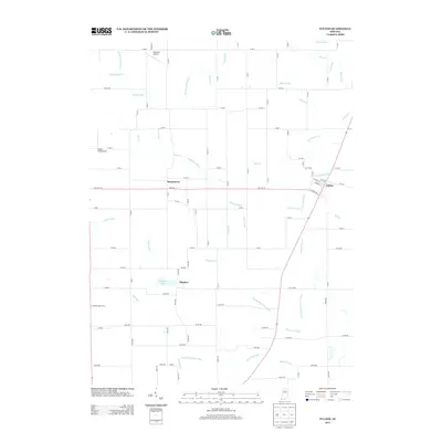
2013 Map of Fulton
USGS Topo · Published 2013About this map
Fulton stands at the crossroads of State Road 114 and State Road 25, anchoring a landscape defined by an intricate network of agricultural drainage. This rural Indiana topography is etched with numerous named waterways, including the Studebaker Hiatt Ditch, Kern Neff Ditch, and Sylvester Maroney Ditch, illustrating the intensive engineering required to manage the local water table for farming. Small unincorporated settlements like Marshtown and Fletcher remain visible as quiet clusters among the section-line roads.
Find a feature on this map
96 named features on this map. Tap any name to fly to it.
Don’t see what you’re looking for? This feature index may not catch every label — zoom into the map to look around manually.
Map Details
Editions of this 2013 Fulton Map
This is the sole edition of this map. No revisions or reprints were ever made.
Other maps of this area

1951 · Twelve Mile
USGS Topo · 1:24,000

1953 · Chicago
USGS Topo · 1:250,000

1953 · Danville
USGS Topo · 1:250,000

1955 · Danville
USGS Topo · 1:250,000

1955 · Logansport
USGS Topo · 1:24,000

1956 · Danville
USGS Topo · 1:250,000

1957 · Chicago
USGS Topo · 1:250,000

1960 · Lucerne
USGS Topo · 1:24,000

1960 · Fulton
USGS Topo · 1:24,000

1960 · Macy
USGS Topo · 1:24,000