
1960 Map of Macy
USGS Topo · Published 1963About this map
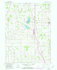
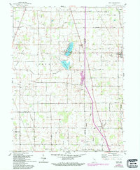
Macy stands as a primary rail hub in northern Miami County, where the Chicago and St Louis and Chesapeake and Ohio railroads intersect. This 1960s landscape is defined by its intricate network of drainage ditches and water bodies, including the irregular shores of Nyona Lake and South Branch South Mud Lake. The rural character of the region is punctuated by small crossroads and civic landmarks like the Mud Lake Chapel and several burial grounds, such as Five Corners Cemetery.
Find a feature on this map
38 named features on this map. Tap any name to fly to it.
Don’t see what you’re looking for? This feature index may not catch every label — zoom into the map to look around manually.
Map Details
Editions of this 1960 Macy Map
3 editions found
Other maps of this area

1951 · Peru
USGS Topo · 1:24,000

1951 · Twelve Mile
USGS Topo · 1:24,000

1953 · Chicago
USGS Topo · 1:250,000

1953 · Danville
USGS Topo · 1:250,000

1955 · Danville
USGS Topo · 1:250,000

1955 · Logansport
USGS Topo · 1:24,000

1956 · Danville
USGS Topo · 1:250,000

1957 · Chicago
USGS Topo · 1:250,000
1960 · Peru
USGS Topo · 1:24,000

1960 · Fulton
USGS Topo · 1:24,000