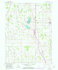
1960 Map of Macy
USGS Topo · Published 1980About this map
The agrarian borderlands of Fulton and Miami counties are defined by an intricate network of drainage ditches that transformed the Indiana prairie into productive farmland. Small lakeside communities center around Nyona Lake and South Mud Lake, where the Mud Lake Chapel serves the local population. The map shows the intersection of two major rail lines, the Norfolk and Western and the Chesapeake and Ohio, which once facilitated the movement of goods through the small rural hubs of Macy and Perrysburg. Cultural landmarks such as Plainview Cem and Five Corners Cem provide valuable points of reference for genealogical research. The landscape is heavily dissected by named watercourses like Mud Creek and Twelve Mile Creek, illustrating the extensive 20th-century hydrological engineering required to manage the low-lying terrain for agriculture.
Find a feature on this map
60 named features on this map. Tap any name to fly to it.
Don’t see what you’re looking for? This feature index may not catch every label — zoom into the map to look around manually.
Map Details
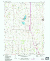
Editions of this 1960 Macy Map
3 editions found

Other maps of this area

1951 · Peru
USGS Topo · 1:24,000

1951 · Twelve Mile
USGS Topo · 1:24,000

1953 · Chicago
USGS Topo · 1:250,000

1953 · Danville
USGS Topo · 1:250,000

1955 · Danville
USGS Topo · 1:250,000

1955 · Logansport
USGS Topo · 1:24,000

1956 · Danville
USGS Topo · 1:250,000

1957 · Chicago
USGS Topo · 1:250,000
1960 · Peru
USGS Topo · 1:24,000

1960 · Fulton
USGS Topo · 1:24,000