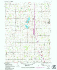
1960 Map of Macy
USGS Topo · Published 1994About this map
Nyona Lake and South Mud Lake sit at the heart of this North-Central Indiana landscape, where the borders of Fulton, Miami, and Cass counties converge. The drainage of the till plain is evident in the intricate network of channelized waterways like Fouts Ditch and Smith Ditch that feed into Mud Creek. Smaller hamlets like Macy and Perrysburg anchor the southern and eastern portions of the map, connected by a rigid grid of numbered county roads such as 1200 North Road.
Find a feature on this map
56 named features on this map. Tap any name to fly to it.
Don’t see what you’re looking for? This feature index may not catch every label — zoom into the map to look around manually.
Map Details
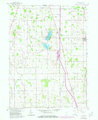
Editions of this 1960 Macy Map
3 editions found

Other maps of this area

1951 · Peru
USGS Topo · 1:24,000

1951 · Twelve Mile
USGS Topo · 1:24,000

1953 · Chicago
USGS Topo · 1:250,000

1953 · Danville
USGS Topo · 1:250,000

1955 · Danville
USGS Topo · 1:250,000

1955 · Logansport
USGS Topo · 1:24,000

1956 · Danville
USGS Topo · 1:250,000

1957 · Chicago
USGS Topo · 1:250,000
1960 · Peru
USGS Topo · 1:24,000

1960 · Fulton
USGS Topo · 1:24,000