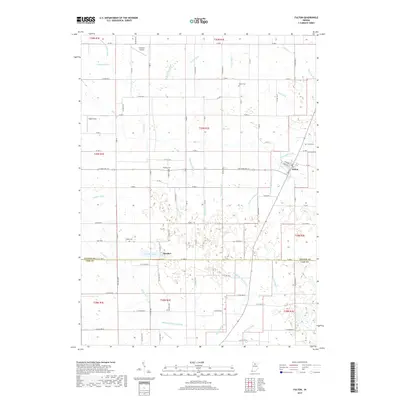
2019 Map of Fulton
USGS Topo · Published 2019About this map
Fulton stands at the heart of this Indiana landscape, where the intersection of State Rd 114 and Main Street serves as a focal point for the surrounding agricultural district. The terrain is characterized by an intricate network of drainage systems, including the Rentschler Ditch and Costello Ditch, which manage the low-lying areas around the Fulton and Cass County line. These man-made waterways, often bearing family names like the Sylvester Maroney Ditch and Kern Neff Ditch, illustrate the long-term engineering required to sustain productive farming in this region.
Find a feature on this map
76 named features on this map. Tap any name to fly to it.
Don’t see what you’re looking for? This feature index may not catch every label — zoom into the map to look around manually.
Map Details
Editions of this 2019 Fulton Map
This is the sole edition of this map. No revisions or reprints were ever made.
Other maps of this area

1951 · Twelve Mile
USGS Topo · 1:24,000

1953 · Chicago
USGS Topo · 1:250,000

1953 · Danville
USGS Topo · 1:250,000

1955 · Danville
USGS Topo · 1:250,000

1955 · Logansport
USGS Topo · 1:24,000

1956 · Danville
USGS Topo · 1:250,000

1957 · Chicago
USGS Topo · 1:250,000

1960 · Lucerne
USGS Topo · 1:24,000

1960 · Fulton
USGS Topo · 1:24,000

1960 · Macy
USGS Topo · 1:24,000