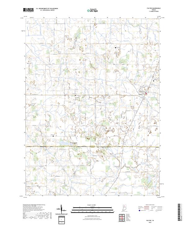
2022 Map of Fulton
USGS Topo · Published 2022About this map
The town of Fulton sits at the intersection of W State Rd 114 and the drainage network of the central Indiana plains, where the landscape is meticulously carved by dozens of named irrigation and drainage ditches. This survey captures a highly engineered agricultural environment where small family cemeteries like Smalley Cem and Salem Cem are preserved among the rectilinear grid of county roads. Further south, the settlement of Fletcher rests near the shores of Fletcher Lake, marking a subtle transition in the terrain near the Fulton and Cass county line.
Find a feature on this map
75 named features on this map. Tap any name to fly to it.
Don’t see what you’re looking for? This feature index may not catch every label — zoom into the map to look around manually.
Map Details
Editions of this 2022 Fulton Map
This is the sole edition of this map. No revisions or reprints were ever made.
Other maps of this area

1951 · Twelve Mile
USGS Topo · 1:24,000

1953 · Chicago
USGS Topo · 1:250,000

1953 · Danville
USGS Topo · 1:250,000

1955 · Danville
USGS Topo · 1:250,000

1955 · Logansport
USGS Topo · 1:24,000

1956 · Danville
USGS Topo · 1:250,000

1957 · Chicago
USGS Topo · 1:250,000

1960 · Lucerne
USGS Topo · 1:24,000

1960 · Fulton
USGS Topo · 1:24,000

1960 · Macy
USGS Topo · 1:24,000