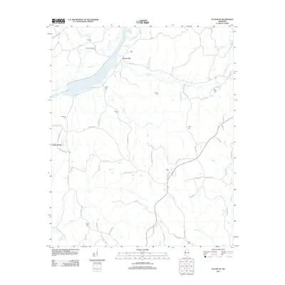
2012 Map of Fulton NE
USGS Topo · Published 2012About this map
The settlement of Moores Mill and the surrounding woodlands of Tishomingo County reflect a landscape defined by its creek valleys and rural family sites. In the northwestern corner, the Natchez Trace Pkwy skirts the terrain near Pounds Br, while further south, the Caveness Bridge spans the waters where Mackeys Cr meets its tributaries. This 2012 survey illustrates a sparse settlement pattern dominated by crossroads and small community centers like Sandy Springs.
Find a feature on this map
79 named features on this map. Tap any name to fly to it.
Don’t see what you’re looking for? This feature index may not catch every label — zoom into the map to look around manually.
Map Details
Editions of this 2012 Fulton NE Map
This is the sole edition of this map. No revisions or reprints were ever made.
Other maps of this area

1936 · Belmont
USGS Topo · 1:24,000

1936 · Red Bay
USGS Topo · 1:24,000

1950 · Belmont
USGS Topo · 1:24,000

1951 · Red Bay
USGS Topo · 1:24,000
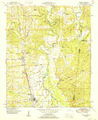
1951 · Belmont
USGS Topo · 1:24,000

1956 · Tupelo
USGS Topo · 1:250,000

1958 · Tupelo
USGS Topo · 1:250,000
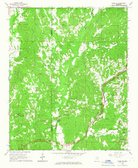
1965 · Paden SE
USGS Topo · 1:24,000

1965 · Fulton SE
USGS Topo · 1:24,000

1965 · Fulton
USGS Topo · 1:24,000