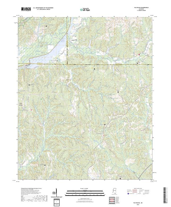
2024 Map of Fulton NE
USGS Topo · Published 2024About this map
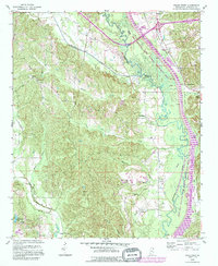
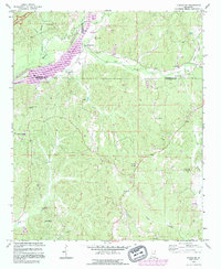
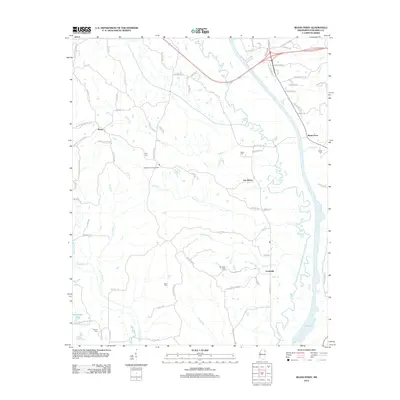
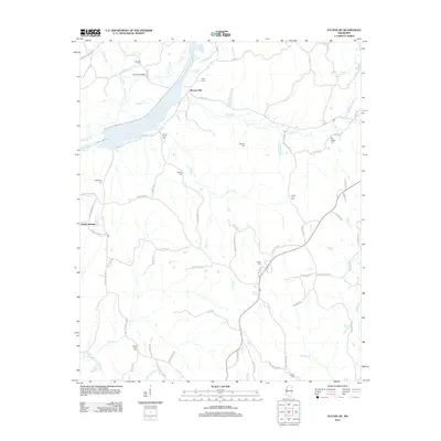
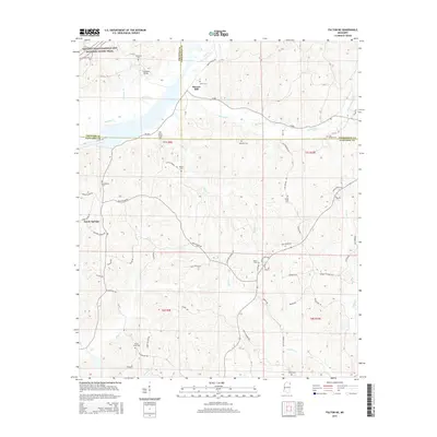
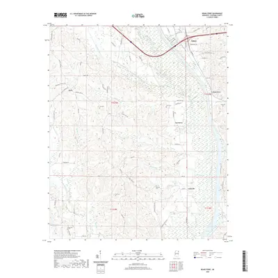
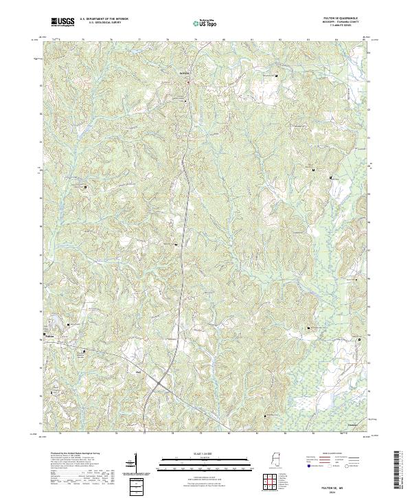
Moores Mill and the expansive Tennessee-Tombigbee Waterway dominate the landscape of this region where Itawamba, Prentiss, and Tishomingo counties meet. The terrain is defined by a dense network of tributaries including Rock Creek, Mackeys Creek, and Red Bud Creek, which have historically shaped the settlement patterns of rural communities like Sandy Springs. This survey documents a landscape where modern infrastructure intersects with deep-rooted local heritage, visible through the numerous family and community burial grounds scattered across the hills.
Find a feature on this map
69 named features on this map. Tap any name to fly to it.
Don’t see what you’re looking for? This feature index may not catch every label — zoom into the map to look around manually.
Map Details
Editions of this 2024 Fulton NE Map
This is the sole edition of this map. No revisions or reprints were ever made.
Historical Maps of Moores Mill Through Time
20 maps found
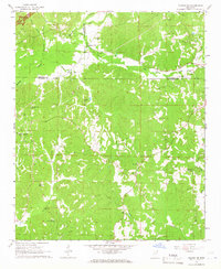
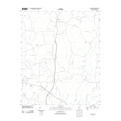
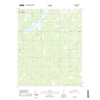
1965 Fulton NE
Itawamba County, MS
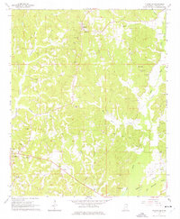
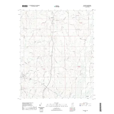
1965 Fulton SE
Itawamba County, MS
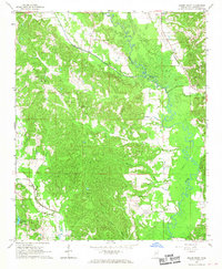
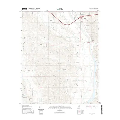
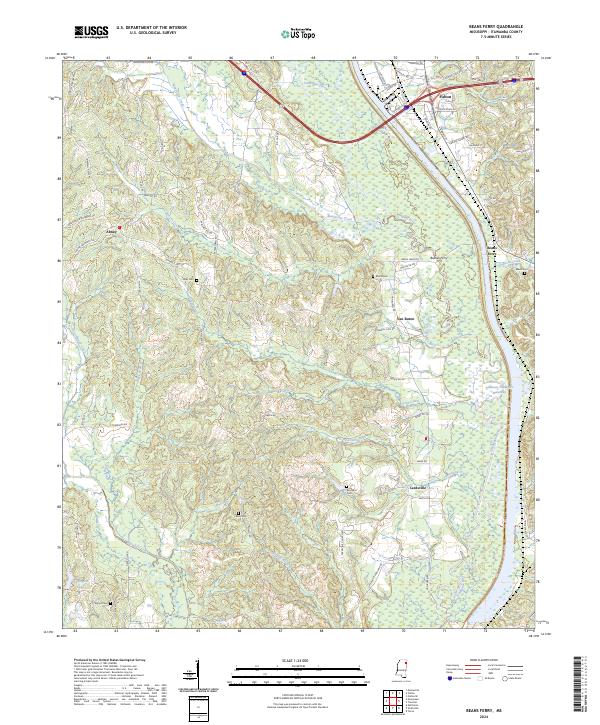
1966 Beans Ferry
Itawamba County, MS
1992 Beans Ferry
Itawamba County, MS
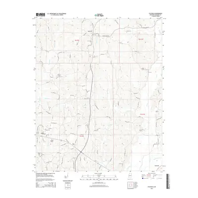
1992 Fulton NE
Itawamba County, MS
2012 Beans Ferry
Itawamba County, MS
2012 Fulton NE
Itawamba County, MS
2012 Fulton SE
Itawamba County, MS
2015 Beans Ferry
Itawamba County, MS
2015 Fulton NE
Itawamba County, MS
2015 Fulton SE
Itawamba County, MS
2018 Beans Ferry
Itawamba County, MS
2018 Fulton NE
Itawamba County, MS
2018 Fulton SE
Itawamba County, MS
2020 Beans Ferry
Itawamba County, MS
2020 Fulton NE
Itawamba County, MS
2021 Fulton SE
Itawamba County, MS
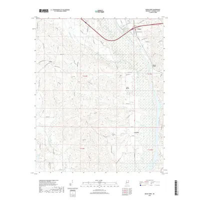
2024 Beans Ferry
Itawamba County, MS
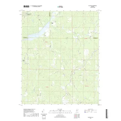
2024 Fulton NE
Itawamba County, MS
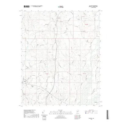
2024 Fulton SE
Itawamba County, MS