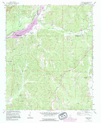
1992 Map of Fulton NE
USGS Topo · Published 1995About this map
The Tennessee-Tombigbee Waterway cuts a modern path through the northeast Mississippi landscape, crossing boundaries where Prentiss, Tishomingo, and Itawamba counties meet. Much of this northern terrain is occupied by the John Bell Williams State Wildlife Mgmt Area, illustrating a transition toward managed conservation and recreation in the late 20th century.
Find a feature on this map
36 named features on this map. Tap any name to fly to it.
Don’t see what you’re looking for? This feature index may not catch every label — zoom into the map to look around manually.
Map Details
Editions of this 1992 Fulton NE Map
This is the sole edition of this map. No revisions or reprints were ever made.
Other maps of this area

1936 · Belmont
USGS Topo · 1:24,000

1936 · Red Bay
USGS Topo · 1:24,000

1950 · Belmont
USGS Topo · 1:24,000

1951 · Red Bay
USGS Topo · 1:24,000
1951 · Belmont
USGS Topo · 1:24,000

1956 · Tupelo
USGS Topo · 1:250,000

1958 · Tupelo
USGS Topo · 1:250,000
1965 · Paden SE
USGS Topo · 1:24,000

1965 · Fulton SE
USGS Topo · 1:24,000

1965 · Fulton
USGS Topo · 1:24,000