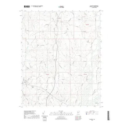
2018 Map of Fulton SE
USGS Topo · Published 2018About this map
Fulton and the surrounding rural communities of Clay, Fairview, and Tremont characterize this part of Itawamba County. The landscape is defined by its many small cemeteries and family-named landmarks, such as Hillcrest Cem near the town center and Mount Pleasant Cem further north. This pattern of small, localized burial grounds like Benefield Cem, Martin Cem, and Lentz Cem suggests a history of tight-knit rural settlements centered around family land and local congregations.
Find a feature on this map
107 named features on this map. Tap any name to fly to it.
Don’t see what you’re looking for? This feature index may not catch every label — zoom into the map to look around manually.
Map Details
Editions of this 2018 Fulton SE Map
This is the sole edition of this map. No revisions or reprints were ever made.
Other maps of this area

1936 · Red Bay
USGS Topo · 1:24,000

1951 · Red Bay
USGS Topo · 1:24,000

1956 · Tupelo
USGS Topo · 1:250,000

1958 · Tupelo
USGS Topo · 1:250,000

1965 · Fulton SE
USGS Topo · 1:24,000

1965 · Fulton
USGS Topo · 1:24,000
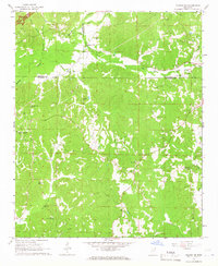
1965 · Fulton NE
USGS Topo · 1:24,000

1965 · Kirkville
USGS Topo · 1:24,000

1966 · Beans Ferry
USGS Topo · 1:24,000

1966 · Tremont
USGS Topo · 1:24,000