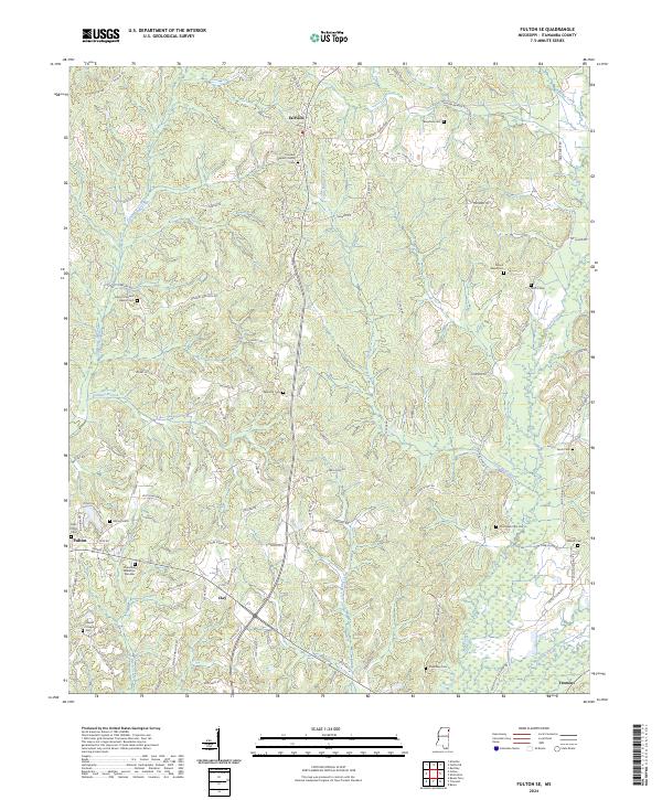
2024 Map of Fulton SE
USGS Topo · Published 2024About this map
Bull Mountain Creek and its many tributaries, including Lick Skillet Creek and Little Briar Creek, define the topography of this corner of Itawamba County. The landscape is dotted with numerous small family and community burial grounds, such as Gun Creek Cem Old, Hardin Chapel Cem, and Lentz Cem, providing a detailed record for genealogical research in rural Mississippi. The eastern edge of Fulton appears near the western margin, where Lake Itawamba is located.
Find a feature on this map
108 named features on this map. Tap any name to fly to it.
Don’t see what you’re looking for? This feature index may not catch every label — zoom into the map to look around manually.
Map Details
Editions of this 2024 Fulton SE Map
This is the sole edition of this map. No revisions or reprints were ever made.
Other maps of this area

1936 · Red Bay
USGS Topo · 1:24,000

1951 · Red Bay
USGS Topo · 1:24,000

1956 · Tupelo
USGS Topo · 1:250,000

1958 · Tupelo
USGS Topo · 1:250,000

1965 · Fulton SE
USGS Topo · 1:24,000

1965 · Fulton
USGS Topo · 1:24,000
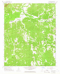
1965 · Fulton NE
USGS Topo · 1:24,000

1965 · Kirkville
USGS Topo · 1:24,000

1966 · Beans Ferry
USGS Topo · 1:24,000

1966 · Tremont
USGS Topo · 1:24,000