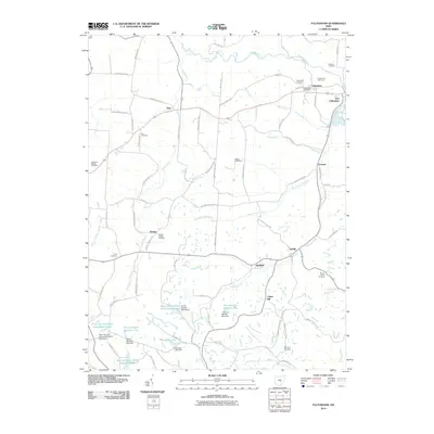
2010 Map of Fultonham
USGS Topo · Published 2010About this map
Fultonham and East Fultonham anchor the northeastern corner of this Muskingum County landscape, where the confluence of Jonathan Creek and Bush Creek once shaped local settlement patterns. The map documents a rural environment punctuated by numerous historic burying grounds, including the Uniontown Cemetery and Roberts Cemetery near the village centers, and the remote Zion Cemetery along Amish Ridge Rd.
Find a feature on this map
83 named features on this map. Tap any name to fly to it.
Don’t see what you’re looking for? This feature index may not catch every label — zoom into the map to look around manually.
Map Details
Editions of this 2010 Fultonham Map
This is the sole edition of this map. No revisions or reprints were ever made.
Other maps of this area

1907 · Logan
USGS Topo · 1:62,500

1909 · Thornville
USGS Topo · 1:62,500

1909 · Logan
USGS Topo · 1:62,500

1910 · Zanesville
USGS Topo · 1:62,500

1911 · New Lexington
USGS Topo · 1:62,500

1947 · Columbus
USGS Topo · 1:250,000

1961 · Columbus
USGS Topo · 1:250,000

1961 · New Lexington
USGS Topo · 1:24,000

1961 · Deavertown
USGS Topo · 1:24,000

1961 · Zanesville West
USGS Topo · 1:24,000