
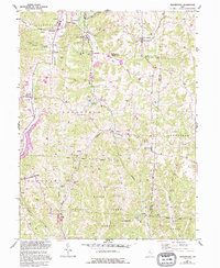
1961 Map of Deavertown
USGS Topo · Published 1962About this map
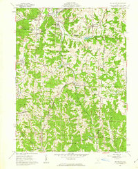
San Toy and Rose Farm sit at the center of this 1961 survey, documenting the transition of southeastern Ohio from a landscape of rural hamlets to an industrializing coal region. The topography is defined by the winding valley of Moxahala Creek and the Black Fork, where both the Pennsylvania and New York Central railroads follow the water gaps to serve local industries. A significant portion of the terrain is dedicated to the Wayne National Forest, yet the map also records the physical impact of resource extraction, noting several Strip Mine operations and industrial sites like Tropic and Misco. Genealogists will find a wealth of local landmarks, including the Bearfield Sch and various rural burial grounds such as Iliff Cem, Herring Cem, and McDanel Cem. The presence of the Crooksville Reservoir and Altiers Lake highlights the management of water resources within these narrow creek valleys.
Find a feature on this map
56 named features on this map. Tap any name to fly to it.
Don’t see what you’re looking for? This feature index may not catch every label — zoom into the map to look around manually.
Map Details
Editions of this 1961 Deavertown Map
6 editions found
Other maps of this area

1910 · Philo
USGS Topo · 1:62,500

1910 · Zanesville
USGS Topo · 1:62,500

1910 · Mc Connelsville
USGS Topo · 1:62,500

1911 · New Lexington
USGS Topo · 1:62,500

1947 · Columbus
USGS Topo · 1:250,000

1949 · Clarksburg
USGS Topo · 1:250,000

1956 · Clarksburg
USGS Topo · 1:250,000

1961 · Columbus
USGS Topo · 1:250,000

1961 · Clarksburg
USGS Topo · 1:250,000

1961 · Corning
USGS Topo · 1:24,000