
1961 Map of Zanesville West
USGS Topo · Published 1962About this map
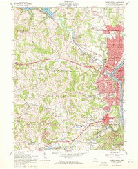
The confluence of the Licking River and Muskingum River anchor this 1961 portrait of Zanesville, capturing the city during a period of significant post-war infrastructure development. The creation of the Dillon Reservoir to the northwest stands out as a major hydrological feature, with gaging stations and areas of controlled inundation clearly marked. The landscape is a complex mix of industrial and civic expansion, with extensive Strip Mine operations and gravel pits operating just outside the urban core, while the County Fairground and Moxahala Park provide established recreation spaces for the growing population.
Find a feature on this map
110 named features on this map. Tap any name to fly to it.
Don’t see what you’re looking for? This feature index may not catch every label — zoom into the map to look around manually.
Map Details
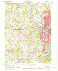
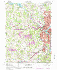
Editions of this 1961 Zanesville West Map
4 editions found
Other maps of this area

1908 · Conesville
USGS Topo · 1:62,500

1910 · Frazeysburg
USGS Topo · 1:62,500

1910 · Philo
USGS Topo · 1:62,500

1910 · Zanesville
USGS Topo · 1:62,500

1910 · Conesville
USGS Topo · 1:62,500

1947 · Columbus
USGS Topo · 1:250,000

1949 · Clarksburg
USGS Topo · 1:250,000

1950 · Marion
USGS Topo · 1:250,000

1951 · Canton
USGS Topo · 1:250,000

1953 · Canton
USGS Topo · 1:250,000