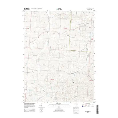
2013 Map of Fultonham
USGS Topo · Published 2013About this map
Fultonham and East Fultonham anchor the northeastern corner of this 2013 survey, where the landscape transitions between Muskingum and Perry Counties. The region is defined by a complex network of streams and creeks, including Jonathan Creek and Turkey Run, which carve through the undulating hills of the Ohio coal country. Traces of the area's industrial past and land management are visible through numerous water management features such as the Perry Reclaim Reservoir One and Essington Lake.
Find a feature on this map
85 named features on this map. Tap any name to fly to it.
Don’t see what you’re looking for? This feature index may not catch every label — zoom into the map to look around manually.
Map Details
Editions of this 2013 Fultonham Map
This is the sole edition of this map. No revisions or reprints were ever made.
Other maps of this area

1907 · Logan
USGS Topo · 1:62,500

1909 · Thornville
USGS Topo · 1:62,500

1909 · Logan
USGS Topo · 1:62,500

1910 · Zanesville
USGS Topo · 1:62,500

1911 · New Lexington
USGS Topo · 1:62,500

1947 · Columbus
USGS Topo · 1:250,000

1961 · Columbus
USGS Topo · 1:250,000

1961 · New Lexington
USGS Topo · 1:24,000

1961 · Deavertown
USGS Topo · 1:24,000

1961 · Zanesville West
USGS Topo · 1:24,000