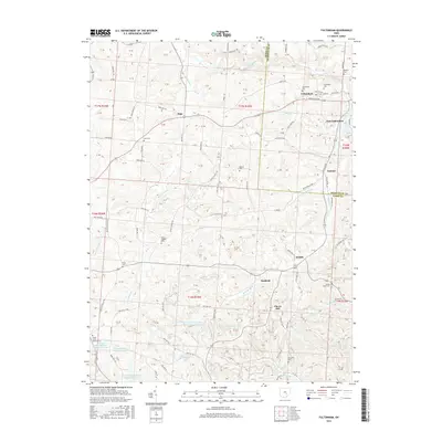
2016 Map of Fultonham
USGS Topo · Published 2016About this map
Fultonham and East Fultonham sit near the northern edge of this landscape, where the Maysville Pike and Jonathan Creek intersect at the border of Muskingum and Perry Counties. The region is defined by a series of small, dispersed settlements like Redfield, Saltillo, and Sego, often situated along drainage divides or historical crossroads. A significant number of cemeteries, including Uniontown Cem, Fultonham Cem, and Wesley Chapel Cem, are scattered across the terrain, providing valuable touchstones for genealogists tracing family roots in this part of Ohio.
Find a feature on this map
98 named features on this map. Tap any name to fly to it.
Don’t see what you’re looking for? This feature index may not catch every label — zoom into the map to look around manually.
Map Details
Editions of this 2016 Fultonham Map
This is the sole edition of this map. No revisions or reprints were ever made.
Other maps of this area

1907 · Logan
USGS Topo · 1:62,500

1909 · Thornville
USGS Topo · 1:62,500

1909 · Logan
USGS Topo · 1:62,500

1910 · Zanesville
USGS Topo · 1:62,500

1911 · New Lexington
USGS Topo · 1:62,500

1947 · Columbus
USGS Topo · 1:250,000

1961 · Columbus
USGS Topo · 1:250,000

1961 · New Lexington
USGS Topo · 1:24,000

1961 · Deavertown
USGS Topo · 1:24,000

1961 · Zanesville West
USGS Topo · 1:24,000