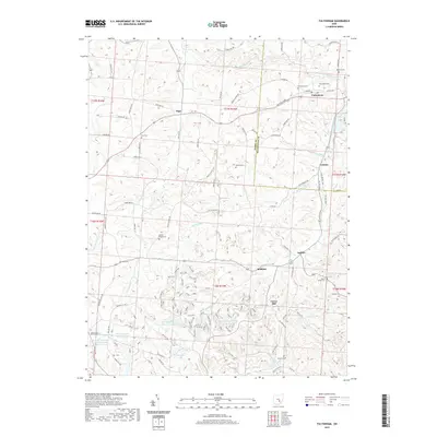
2019 Map of Fultonham
USGS Topo · Published 2019About this map
Fultonham and the surrounding borderlands of Perry and Muskingum counties are characterized by a legacy of industrial land use and small crossroads settlements. The landscape is defined by the Perry Reclaim projects, including Perry Reclaim Reservoir One, Perry Reclaim Reservoir Two, and the Perry Reclaim Dam Three Impoundment, reflecting significant environmental restoration efforts in this coal-rich region. These water bodies, along with the Perry Fish and Game Association Pond, highlight the transition of former resource-extraction sites into managed recreational and ecological areas.
Find a feature on this map
88 named features on this map. Tap any name to fly to it.
Don’t see what you’re looking for? This feature index may not catch every label — zoom into the map to look around manually.
Map Details
Editions of this 2019 Fultonham Map
This is the sole edition of this map. No revisions or reprints were ever made.
Other maps of this area

1907 · Logan
USGS Topo · 1:62,500

1909 · Thornville
USGS Topo · 1:62,500

1909 · Logan
USGS Topo · 1:62,500

1910 · Zanesville
USGS Topo · 1:62,500

1911 · New Lexington
USGS Topo · 1:62,500

1947 · Columbus
USGS Topo · 1:250,000

1961 · Columbus
USGS Topo · 1:250,000

1961 · New Lexington
USGS Topo · 1:24,000

1961 · Deavertown
USGS Topo · 1:24,000

1961 · Zanesville West
USGS Topo · 1:24,000