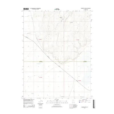
2014 Map of Fumarole Butte
USGS Topo · Published 2014About this map
Fumarole Butte dominates the northern landscape of this 2014 survey, marking a volcanic upland at the border of Juab and Millard Counties. This arid Basin and Range terrain is defined by its industrial and geothermal infrastructure, notably the Brush Beryllium road and the Brush Hwy that cut diagonally across the flat desert floor. To the east, the topography rises sharply at Crater Bench, while the presence of the Baker Hot Sprgs and several basins including Swasey Hardpan Reservoir, Crater Reservoir, and Whirlwind Reservoir indicate the unique hydrology of this remote region. The map also documents the modern industrial footprint of the Energy Corridor Rd and specialized routes such as Baker Hogs Back Spur, providing a detailed look at the intersection of natural volcanic geology and resource extraction logistics.
Find a feature on this map
18 named features on this map. Tap any name to fly to it.
Don’t see what you’re looking for? This feature index may not catch every label — zoom into the map to look around manually.
Map Details
Editions of this 2014 Fumarole Butte Map
This is the sole edition of this map. No revisions or reprints were ever made.
Other maps of this area

1885 · Sevier Desert
USGS Topo · 1:250,000

1953 · Delta
USGS Topo · 1:250,000

1958 · Delta
USGS Topo · 1:250,000

1962 · Delta
USGS Topo · 1:250,000

1962 · Delta
USGS Topo · 1:62,500

1971 · Smelter Knolls East
USGS Topo · 1:24,000

1971 · Baker Hot Springs
USGS Topo · 1:24,000

1971 · Picture Rock Hills
USGS Topo · 1:24,000

1971 · Drum Mts Well
USGS Topo · 1:24,000

1971 · Crater Bench Reservoir
USGS Topo · 1:24,000