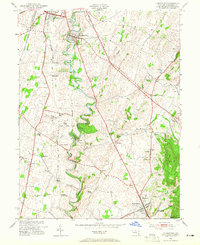
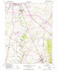
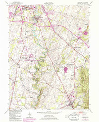
1953 Map of Funkstown
USGS Topo · Published 1965About this map
Antietam Creek snakes through the center of this landscape, its tight meanders defining the topography between Hagerstown and Boonsboro. The mid-century character of Washington County is visible in the mix of industrial sidings and agricultural institutionalism, most notably at the State Penal Farm near Roxbury. Transportation networks including the Norfolk and Western and Baltimore and Ohio railroads parallel the creek, serving small rural hubs like Breathedsville and Funkstown.
Find a feature on this map
51 named features on this map. Tap any name to fly to it.
Don’t see what you’re looking for? This feature index may not catch every label — zoom into the map to look around manually.
Map Details
Editions of this 1953 Funkstown Map
6 editions found
Other maps of this area

1884 · Harpers Ferry
USGS Topo · 1:125,000

1891 · Harpers Ferry
USGS Topo · 1:125,000

1893 · Harpers Ferry
USGS Topo · 1:125,000

1908 · Middletown
USGS Topo · 1:48,000

1909 · Hagerstown
USGS Topo · 1:48,000

1910 · Antietam
USGS Topo · 1:62,500

1912 · Hagerstown
USGS Topo · 1:62,500

1912 · Williamsport
USGS Topo · 1:62,500

1914 · Martinsburg
USGS Topo · 1:48,000

1916 · Martinsburg
USGS Topo · 1:62,500