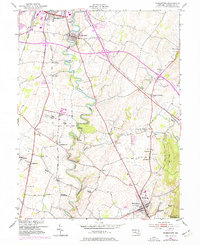
1953 Map of Funkstown
USGS Topo · Published 1977About this map
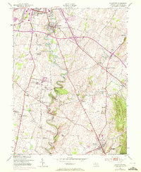
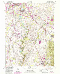
Antietam Creek carves a deeply sinuous path through the center of this Washington County landscape, a terrain defined by its limestone-belt agriculture and burgeoning mid-century transportation networks. To the north, the industrial outskirts of Hagerstown and the village of Funkstown show expansion around the intersection of major roads, while the State Penal Farm near Roxbury occupies a significant tract of land west of the creek.
Find a feature on this map
55 named features on this map. Tap any name to fly to it.
Don’t see what you’re looking for? This feature index may not catch every label — zoom into the map to look around manually.
Map Details
Editions of this 1953 Funkstown Map
6 editions found
Other maps of this area

1884 · Harpers Ferry
USGS Topo · 1:125,000

1891 · Harpers Ferry
USGS Topo · 1:125,000

1893 · Harpers Ferry
USGS Topo · 1:125,000

1908 · Middletown
USGS Topo · 1:48,000

1909 · Hagerstown
USGS Topo · 1:48,000

1910 · Antietam
USGS Topo · 1:62,500

1912 · Hagerstown
USGS Topo · 1:62,500

1912 · Williamsport
USGS Topo · 1:62,500

1914 · Martinsburg
USGS Topo · 1:48,000

1916 · Martinsburg
USGS Topo · 1:62,500