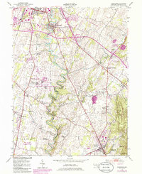
1953 Map of Funkstown
USGS Topo · Published 1986About this map
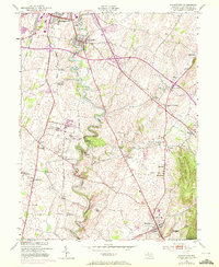
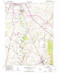
Antie Tam Creek carves a winding path through this Washington County landscape, anchoring a region defined by agricultural heritage and institutional growth during the mid-20th century. The settlement pattern reveals numerous small communities and rail stops, including Funkstown, Boonsboro, and Sharman (Showman Sta), which served as local hubs along the Norfolk and Western and Baltimore and Ohio railroads. The map captures the significant footprint of the Maryland Correctional Institution-Hagerstown and the Fort Ritchie Sharpsburg Site, illustrating how state and federal land use integrated into the rural valley.
Find a feature on this map
60 named features on this map. Tap any name to fly to it.
Don’t see what you’re looking for? This feature index may not catch every label — zoom into the map to look around manually.
Map Details
Editions of this 1953 Funkstown Map
6 editions found
Other maps of this area

1884 · Harpers Ferry
USGS Topo · 1:125,000

1891 · Harpers Ferry
USGS Topo · 1:125,000

1893 · Harpers Ferry
USGS Topo · 1:125,000

1908 · Middletown
USGS Topo · 1:48,000

1909 · Hagerstown
USGS Topo · 1:48,000

1910 · Antietam
USGS Topo · 1:62,500

1912 · Hagerstown
USGS Topo · 1:62,500

1912 · Williamsport
USGS Topo · 1:62,500

1914 · Martinsburg
USGS Topo · 1:48,000

1916 · Martinsburg
USGS Topo · 1:62,500